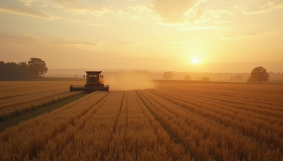
Boost Your Farm with SkyView Drone Services in Minnesota
Discover how SkyView Drone Services revolutionizes farming in Minnesota with precision agriculture solutions. Our drone services provide NDVI mapping, crop health analysis, and farm inspections, enabling smarter decisions and improved yield. Optimize your farming operations with SkyView's cutting-edge technology and expert support.

Our Farming Drone Services
-
NDVI Crop Health Mapping
-
Thermal Imaging for Moisture & Stress
-
Aerial Field Scouting
-
Precision Spraying (Coming Soon)
-
Plant Counting & Stand Analysis
.webp)

Service Areas
Serving Southern Minnesota: Owatonna, Waseca, Albert Lea, Mankato & Surrounding Areas
.jpg)

Get a Free Quote Today
-
🚀 Fast Estimates | 🌾 Ag Packages Available | 📞 Call/Text: 507-414-7949

Drone Services for Construction Projects in Minnesota
Track progress, improve site safety, and enhance project planning with our drone services for construction. We deliver aerial photography, 3D modeling, volumetric analysis, and orthomosaic mapping to help contractors stay on schedule, identify issues early, and reduce costly delays—backed by high-resolution imagery and precise data.


