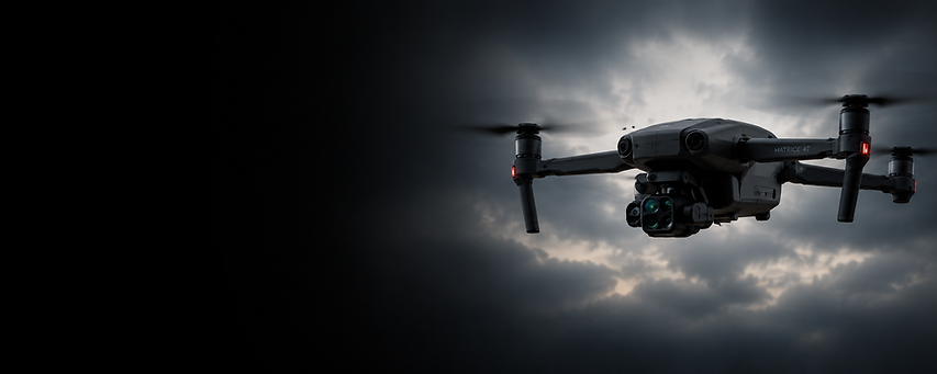
top of page
DJI Matrice 4T drone flying over downtown Northfield, Minnesota with a left-to-right black fade, riverfront buildings, bridge, and city streets for a drone services website hero image.

DRONE SERVICES 
NORTHFIELD MN
FAST, FAA-CERTIFIED DRONE SOLUTIONS

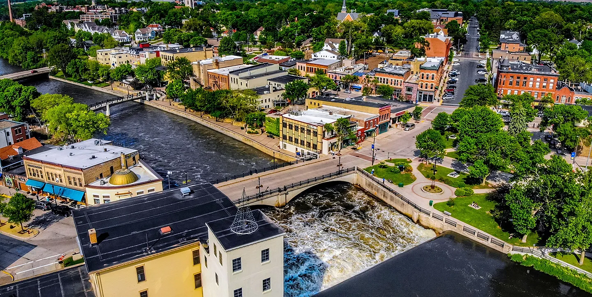
Need professional drone services in Northfield MN? SkyView Drone Services MN provides thermal inspections, lost pet recovery, stockpile measurements, roof inspections, drone mapping, and emergency drone response throughout Northfield and Southern Minnesota.

FAA Certified Drone Pilot

Fully Insured Operations

Same-Day Service

Available

WHY HIRE A PROFESSIONAL DRONE COMPANY IN NORTHFIELD MN?

Professional drone services provide safer inspections, faster data collection, and accurate aerial intelligence without the costs and risks of traditional methods.

SkyView Drone Services MN helps property owners, contractors, municipalities, and businesses make faster, more informed decisions.

FAA Certified Drone Pilot

Fully Insured Operations

High-Resolution Imaging

Thermal Inspection Capabilities

Fast Local Response

Accurate Mapping & Measurements

Commercial & Residential Services

Same-Day Availability

Aerial view of downtown Northfield, Minnesota with the Cannon River, bridge, riverfront buildings, and historic city streets for a drone services website hero image.

DRONE SERVICES AVAILABLE IN NORTHFIELD MN

Thermal drone searching for a lost dog at night using infrared imaging technology to locate missing pets quickly across Minnesota.

Lost Pet Recovery Drone Services

Find missing dogs, cats, livestock, and other animals faster using advanced aerial search capabilities and rapid drone deployment.

Large farms, wooded areas, parks, trails, and rural properties can be searched more efficiently from the air.

Thermal Drone Inspections

Thermal drone inspection scanning a commercial building rooftop at sunset to detect heat loss, water intrusion, electrical hotspots, and hidden structural issues using infrared imaging technology.

Thermal imaging drones identify roof moisture, heat loss, electrical hotspots, solar panel issues, and hidden building problems.

Ideal for commercial buildings, educational facilities, agricultural operations, industrial properties, and municipal infrastructure.

Roof Drone Inspections

Drone performing a high-resolution roof inspection over a residential property in Minnesota, capturing aerial imagery for storm damage assessment, leak detection, insurance documentation, and roof condition reporting.

Identify storm damage, missing shingles, roof leaks, flashing issues, and insurance-related damage without climbing on the roof.

High-resolution aerial imagery helps property owners, facility managers, and insurance adjusters document roof conditions safely.

Professional drone mapping service capturing aerial site data for orthomosaic mapping, topographic surveys, construction planning, land development, and engineering projects in Minnesota.

Drone Mapping Services

Generate accurate orthomosaic maps, elevation models, stockpile calculations, and site data for planning, engineering, and development projects.

Professional drone mapping helps contractors, developers, municipalities, schools, and engineers make informed decisions.

Drone performing stockpile volume measurement at a construction and aggregate site using aerial mapping technology to calculate material quantities, earthwork volumes, and cut-and-fill analysis.

Stockpile Volume Measurement

Accurately calculate aggregate, gravel, sand, soil, and material stockpile volumes using advanced drone mapping technology.

Contractors, excavation companies, and material suppliers use drone-generated measurements to improve inventory management and project planning.

Drone capturing aerial imagery over an active construction site in Minnesota to provide progress tracking, site documentation, timeline verification, and stakeholder reporting throughout the project lifecycle.

Construction Progress Tracking

Document every phase of construction with detailed aerial imagery and recurring drone flights.

Improve communication, project oversight, and stakeholder reporting with professional drone documentation.

Luxury waterfront home captured with professional real estate drone photography in Minnesota, featuring aerial property images, cinematic drone video, residential listings, and commercial real estate marketing.

Real Estate Drone Photography

Showcase residential and commercial properties with stunning aerial imagery that attracts buyers and generates more interest.

Showcase residential and commercial properties with stunning aerial imagery that attracts buyers and generates more interest.

Emergency response drone flying over storm-damaged neighborhood in Minnesota, providing real-time aerial assessments, disaster response mapping, emergency inspections, and critical incident documentation.

Emergency Drone Response

Rapid drone deployment provides critical aerial intelligence during storms, disasters, infrastructure incidents, search operations, and other time-sensitive situations.

High-resolution imagery and thermal technology help decision-makers assess conditions quickly and safely.

INDUSTRIES WE SERVE IN NORTHFIELD MN

Construction Companies

Commercial Property Managers

Roofing Contractors

Engineering Firms

Educational Institutions

Insurance Adjusters

Agricultural Operations

Municipal Agencies

Utility Companies

Real Estate Developers

Multi-Family Property Managers

WHY CHOOSE SKYVIEW DRONE SERVICES MN IN NORTHFIELD?

FAA-Certified Drone Pilots

Every flight is conducted under FAA Part 107 regulations for safe, compliant, and professional drone operations throughout Northfield MN.

Fast Northfield Response Times

Rapid scheduling helps businesses, contractors, and property owners obtain aerial data when projects cannot wait.

Accurate Data You Can Trust

High-resolution imagery, thermal inspections, drone mapping, and aerial reporting provide actionable information for confident decision-making.

Trusted Throughout Southern Minnesota

SkyView Drone Services MN supports commercial, municipal, agricultural, educational, industrial, and residential projects throughout Northfield and surrounding communities.

AREAS WE SERVE AROUND NORTHFIELD MN

Northfield MN

Dundas MN

Faribault MN

Faribault MN

Lonsdale MN

Cannon Falls MN

Farmington MN

Lakeville MN

Randolph MN

Elko New Market MN

Owatonna MN

Southern Minnesota

DJI Matrice 4T enterprise drone flying against a dark gradient background with advanced imaging sensors, thermal camera capabilities, and professional aerial mapping technology.

Request Drone Services in NORTHFIELD MN

Need fast aerial inspections, thermal imaging, stockpile measurements, lost pet recovery, roof inspections, or emergency drone response? SkyView Drone Services MN is ready to deploy throughout Northfield and Southern Minnesota.

FAA Certified | Fully Insured | Same-Day Availability | Serving Northfield MN & All of Minnesota

skyview-drone-services-minnesota-forest-aerial-mist-landscape.webp

?

Do you provide same-day drone services in Northfield MN?

Yes. Same-day and rapid-response scheduling is available for many inspection, mapping, thermal imaging, and emergency drone projects throughout Northfield and Southern Minnesota.

?

What drone services are most popular in Northfield?

Thermal inspections, lost pet recovery, roof inspections, stockpile measurements, emergency drone response, and drone mapping are among the most requested services in Northfield MN.

?

Are your drone pilots FAA certified and insured?

Yes. SkyView Drone Services MN operates under FAA Part 107 certification and maintains insured commercial drone operations.

?

Do you offer thermal drone inspections in Northfield MN?

Yes. Thermal drone inspections can identify roof moisture, heat loss, electrical hotspots, solar panel issues, and other hidden problems without costly manual inspections.

Frequently Asked Questions

bottom of page