
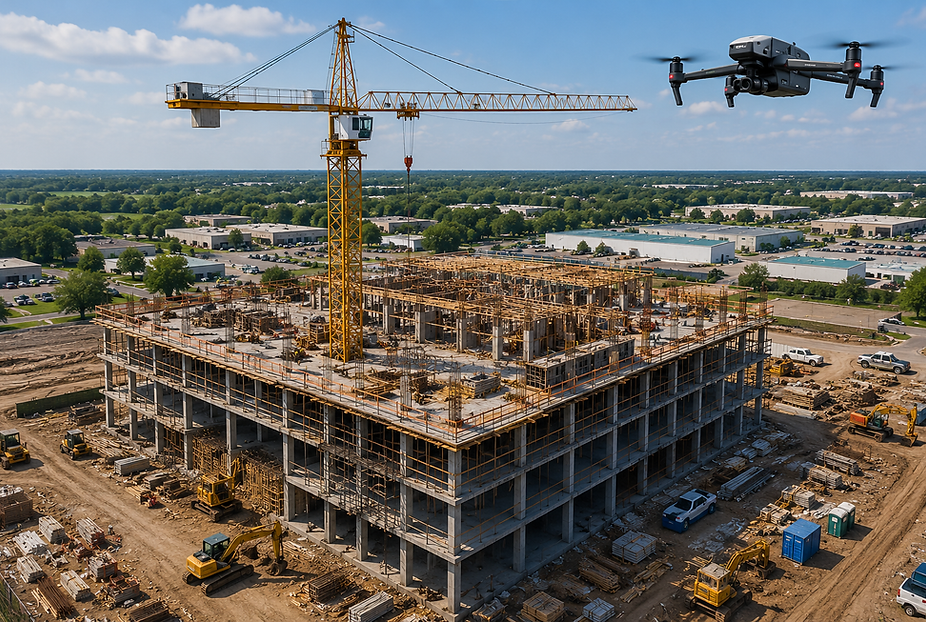
Track Project Progress in Real Time
Capture aerial updates, timelines, and visual reporting for stakeholders, project managers, and clients.
Reduce Inspection & Survey Time
Drone operations replace slow manual site walks and expensive lift equipment with fast aerial visibility.
Improve Safety on Active Jobsites
Inspect roofs, structures, and difficult access areas without exposing crews to unnecessary risk.
Get Accurate Aerial Documentation
High-resolution aerial imagery helps verify completed work, monitor crews, and support project reporting.
CONSTRUCTION DRONE SERVICES WE PROVIDE

Construction Progress Monitoring
Recurring aerial updates help contractors track milestones, monitor crews, and document site changes throughout every project phase.

Construction Site Inspections
Inspect rooftops, structures, equipment, and active construction zones safely with high-resolution aerial imagery.

Drone Mapping & Surveying
Generate orthomosaic maps, aerial overviews, and site measurements for planning, logistics, and land development.

Pre-Construction Site Documentation
Document existing site conditions before excavation, grading, and commercial development begins.

Roof & Structural Inspections
Inspect commercial roofing systems, steel structures, and elevated construction areas without lifts or scaffolding.

Marketing & Investor Updates
Capture cinematic aerial photos and drone video for project marketing, investor reporting, and stakeholder presentations.
Why Choose Construction Drone Services Over Traditional Site Inspections?
Construction drone services provide faster project visibility, safer inspections, and more accurate jobsite documentation without slowing down active construction operations.
SkyView Drone Services MN helps contractors reduce costs, improve communication, and monitor projects from groundbreaking through completion.
Monitor construction progress without site visits
Capture complete jobsite visibility in minutes
Track milestones, crews, and completed work
Reduce inspection costs and project delays
High-resolution aerial reporting for contractors and stakeholders
WHY SKYVIEW DRONE SERVICES MN
FAA-Certified Drone Pilots
Every operation follows FAA Part 107 standards.
Fast Minnesota Deployment
Same-day deployment available for urgent projects.
Professional Commercial Reporting
Receive organized aerial imagery and actionable site data.
Trusted Across Minnesota
Serving Owatonna, Rochester, Minneapolis, and Southern Minnesota.

Frequently Asked Questions About Construction Drone Services in Minnesota
Trusted Across Owatonna MN, Rochester MN & Minnesota • FAA Certified & Insured
?
How can drone services help general contractors?
Construction drones provide real-time project visibility, progress documentation, and aerial inspections that help contractors stay on schedule and reduce costly delays.
?
Can developers use drones to monitor construction progress?
Yes. Developers use recurring drone flights to verify milestones, document work completed, and provide visual updates to stakeholders and investors.
?
Do you provide drone services for commercial construction projects?
Yes. We support office buildings, retail developments, industrial facilities, warehouses, multi-family housing, and large commercial construction projects throughout Minnesota.
?
Can drone mapping help construction planning?
Yes. Orthomosaic maps and aerial measurements help contractors improve site planning, logistics, grading analysis, and project coordination.