top of page


Drone Services Project Gallery
SkyView Drone Services MN provides professional drone inspections, thermal imaging, aerial photography, mapping, and emergency lost pet drone searches across Minnesota. Below are examples of real aerial imagery, thermal drone scans, and mapping data captured during residential inspections, commercial projects, and search operations.
Lost Pet Drone Search Gallery
 |  |  |
|---|---|---|
 |  |  |
 |  |

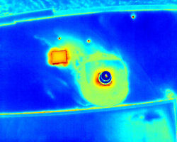
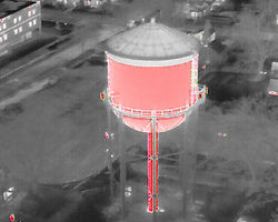
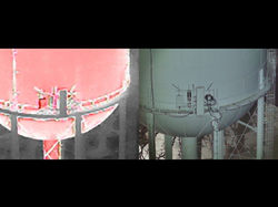
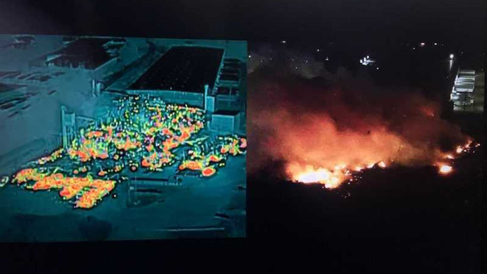
Thermal Drone Inspection Gallery
 |  |  |  |  |  |  |
|---|---|---|---|---|---|---|
 |  |  |  |  |  |  |
 |  |  |  |  |  |  |
 |  |  |  |  |  |  |
 |  |  |
Residential Drone Inspection Gallery


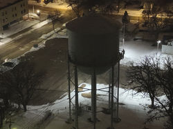
Commercial Drone Inspection Gallery


Aerial Photography & Real Estate


Drone Mapping & Surveying Gallery


Drone Service Areas in Minnesota
SkyView Drone Services MN provides professional drone inspections, thermal imaging, aerial mapping, and lost pet drone searches across Minnesota including Owatonna, Rochester, Minneapolis, Saint Paul, Mankato, Faribault, Northfield, Albert Lea, and surrounding communities.
bottom of page