
Environmental & Wildlife Drone Monitoring in Minnesota
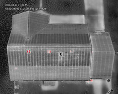
SkyView Drone Services MN provides environmental and wildlife drone monitoring across Minnesota for aerial land assessment, habitat observation, mapping, and site documentation. Drone technology helps gather visual data efficiently while reducing ground disturbance and improving coverage.
Trusted by Businesses Across Minnesota
91 +
Deployments
REAL ENVIRONMENTAL PROJECTS
9,700 +
Miles
MAPPING MINNESOTA LAND
Environmental Monitoring
HABITAT & LAND ANALYSIS
Minnesota Coverage
STATEWIDE SERVICE

How Drone Services Support Environmental Monitoring
-
Cover large areas quickly
-
Reduce disturbance to sensitive areas
-
Improve visual documentation
-
Support planning and assessment
-
Capture repeatable aerial data over time
Drone Services for Environmental & Wildlife Monitoring


Common Environmental Monitoring Applications
-
Land and habitat observation
-
Site documentation over time
-
Vegetation and terrain assessment
-
Wetland and drainage area review
-
Wildlife observation support
-
Environmental project planning
Who Uses Environmental Drone Services

-
Environmental consultants
-
Landowners
-
Conservation-focused organizations
-
Project planners
-
Developers
-
Property and site managers

